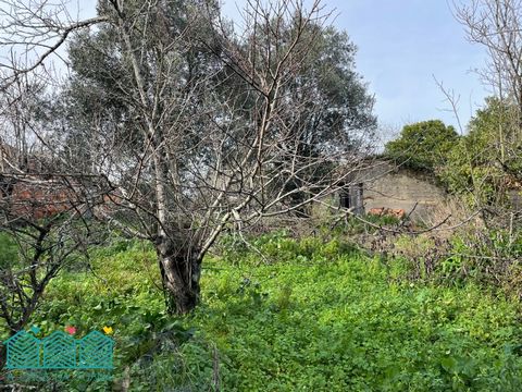
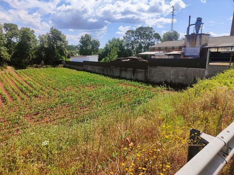
Rustic land on Rua Manuel Lopes Póvoa in Eirol - Aveiro with the following characteristics: Total area: 2,000 m2 Confrontations: North and South with private land, East Rio Vouga and West Rua Manuel Lopes Póvoa Located in a low-density residential area (villas) Flat land with 40 meters in front with the sole purpose of cultivation, according to the Municipal Regulation in force (PDM) Already in 1839, it appears integrated in the comarca of Aveiro, although belonging to the municipality of Segadães. In 1852, in the region of Eixo, in 1862 in the region of Aveiro and in 1878 in the judgment of Requeixo. As for the name of this place, it may have something to do with the word Eiró eel or species of eel, found in abundance and that spreads in the estuary marking the very toponym of Aveiro (Ave e Eiró). Another explanation comes from the existence of old threshing floors destined to the drying of cereals, justified by the location of the parish on the left bank of the river Vouga and the cereal culture that benefits from the quality of the alluvial soils and the climatic traits that it presents. In this regard, in the literature, Eirol is referred to as a land fertile in all kinds of agriculture. As well as existing cattle raising for export. This is a rural activity that has accompanied the evolution of the parish whose seat, perched over the valley, uncovers a rural activity from which stand out the ancient cultures of corn and rice and the fragility of the swampy soils, of the marsh type, which gain expression in the neighboring parishes of Requeixo and Fermentelos. It is, therefore, a town centered on agriculture and the simple life of its former inhabitants, concentrated around the old church built with stone from the region and which serves as a reference for customers and those who inhabit the same valley. In addition to rural activities, this parish also contains remains of red sandstone or sandstone operations the Eirol sandstone used in the construction of Farol da Barra. These deposits from the Triassic and Cretaceous serve as an escarpment on the bed of the Vouga river, between Eirol and Eixo, which after this location continues in a valley widened by Angeja and Cacia. Being a land rich in water, a reference must be made to Ponte da Rata with its three-span aqueduct over the River Águeda, which serves to recall the violent floods and the flow of water from downstream to upstream, which are felt in this region. aria from the Vouga basin. Before its construction, the crossing of the river was done by means of a crossing barge. Later, access to this parish was facilitated by the Vouga line, an infrastructure that could transport new inhabitants who wanted to enjoy, in the "eagle's nest" type village or in neighboring places, the rural landscape allowed by the valley and by the vegetation. of the Águeda and Vouga rivers.


