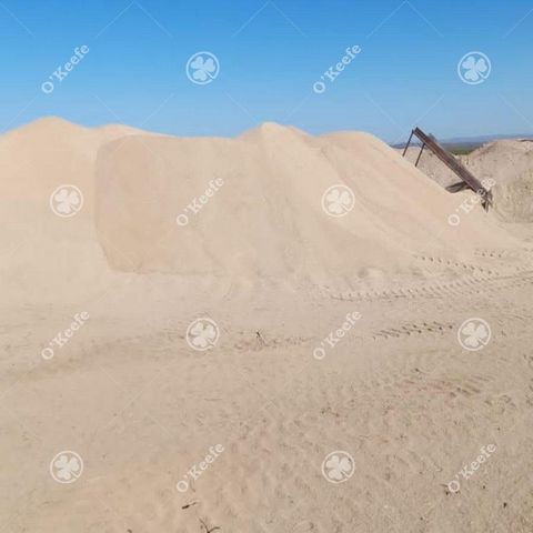
Location: It is located on National Route 237, 12 km from the Arroyito junction (HEAVY WATER PLANT) and 17 km northwest of the tourist town of Villa El Chocón, where the dam regulating the Limay River bed and generating electricity to the rest of the country is located, forming the "Lago Ezequiel Ramos Mexía" reservoir It has 4 kilometers of frontage on National Route 237, a route that connects the cities of Neuquén and Bariloche, and through it to the main winter tourist centers of northern Patagonia, such as Villa La Angostura, San Carlos de Bariloche, El Bolsón, San Martín de los Andes, Junín de los Andes, Villa Lago Traful, among others. Distances of Interest: • 65 km. from Neuquén capital (International Airport). • 60 km from the towns of Cutral-Có and Plaza Huincul. • 17 km. from the tourist town of Villa El Chocón. Characteristics and infrastructure: It is a field of 2,785 hectares, with a frontage on National Route No. 237 (asphalted), forming a rectangle of 4 km. by 6.5 km. The lake is located just 1,000 m. from the Campo, crossing Route 237. It has wiring only in the front in perfect condition. Two entrance gates. The fences have 6 wires, suitable for the containment of cattle, horses, goats and/or wine. The property has internal roads in very good condition that surround and cross its surface in different places, so it can be traveled perfectly through a truck or similar vehicle. It has two (2) dams for the containment of water from heavy rains. The field has 2 large ravines where fine sand is deposited, formerly they were used for the construction of many buildings in Neuquén since it did not have saltpeter, the sand quarry was exploited by a private individual approximately 15 years ago, the ravines are 2 and 3 kilometers long with an approximate width of 20 to 30 meters where you can see various natural springs that give higher value to the establishment. This geological formation gives it a natural charm ideal for hiking and horseback riding in a typical Patagonian place. The existing fauna is composed of hares, maras, ostriches, wildcats and pumas. Current use of the property: It is not currently in operation. The last activity carried out in the field was its exploitation as a quarry for construction sands. Enabling of sand quarry in Minería de Zapala, with 50 hectares registered and studies approved by the same entity, there are also sectors with gypsum, mica, limestone and quartz. Potential for use of the Estancia: Attentive to its location and the existing services, this establishment is suitable for various economic uses, among which the following stand out: • Suitable for the production of wind and/or solar energy, mainly in its plain or steppe sector. • Livestock and/or agricultural use. • There are paleontological sites in the area with dinosaur remains, so it is likely that also within this extensive area there will also be a site at some point. • The field is located in an oil exploitation zone, so it is estimated that the field will soon be entitled to the collection of an easement for oil exploitation. Excellent water quality at a distance of 90 meters deep. Terms and conditions of purchase: Contact us The data provided are merely illustrative, and are subject to the validation that arises from the property title or municipal plans. The sale is subject to compliance by the owner with the provisions of General Resolution No. 2371 of the AFIP.
